INDIANAPOLIS — Keep Indianapolis Beautiful’s new Tree Canopy Planner and mapping tool is a community resource to help Indianapolis residents visualize where trees are, where they can be planted, and where environmental improvement and stewardship is occurring. Neighborhoods can use the planning map to develop a tree planting application or plan with KIB staff.
Residents can visit kibi.org/map to explore the tree canopy in their neighborhood. The “View” tab of the map allows the public to see the tree canopy percentages and plantable space percentages at various scales within Marion County. The “Grow” tab of the map allows users to calculate how many trees are needed to increase canopy by a specific amount. The “Plan” tab of the map allows the public to visualize priorities for community enhancement. As KIB continues to develop and integrate the capabilities of the Tree Canopy Planner, more interactive features will become available, allowing residents to see the impact of their support of KIB related to the health and wellbeing of Indianapolis’ residents and natural world.
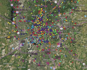
KIB’s ISA-Certified Arborists will use the Tree Canopy Planner to manage data for project planning, project maintenance, and tree survival tracking. Currently, the mapping tool allows KIB staff to overlay potential planting sites with percentage of area without existing tree canopy, percentage of area with plantable space, and indicators of at-risk populations. Over the next few years, KIB will continue to to invest in mapping technology, enhancing the map to include an overlay of collective Indianapolis health and wellness indicators.